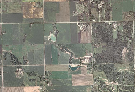
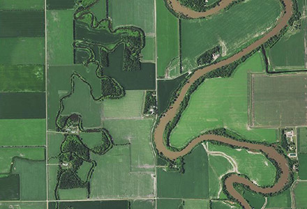
Orthophoto or Raster Imagery
Historical datasets are made available for your use for that layer by choosing the desired, available year in a drop down.

A "Photo Date" layer is also available that displays the specific date the imagery was taken. Knowing the e the imagery date can be a valuable asset in many different scenarios. This information is also a clear method to show the seams of the imagery swaths.
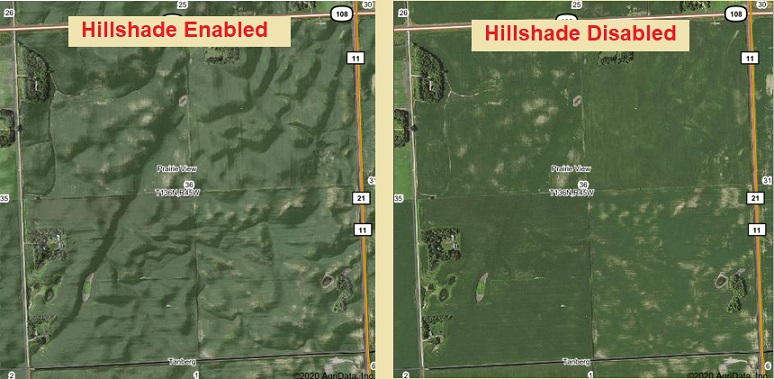
Hillshading
The Hillshade is an adjustment layer to the NAIP imagery. It provides a visualization of the elevation changes by adding a shadowing effect.
Canadian Air Photo Mapping Imagery
For the two Canadian provinces, Manitoba and Saskatchewan, that we serve, the imagery will auto switch to "Air Photo". However, the imagery here is for a span of years such as 2008 - 2010. Otherwise the behavior, as far as having the latest imagery or being able to disable the imagery layer is the same as the U.S. land imagery.